
Kevin Selle
Wichita Falls, TX
Male, 55


I've been a broadcast meteorologist on television since the early 1990's. Happy to answer any questions about the weather or local TV news. Yes, I often wear sneakers on set just out of view of the camera.
Yup. Sure can. Cold air moving into an area, cold air advection, can drop the temperature. And something called evaporative cooling can happen when it is raining. The friction with the air caused by falling raindrops can transfer heat to the water vapor and cool the air as well. Great question!
Share Answer: 

Interesting, and pretty broad question. Probably little out of my area. Maybe look to some US government resources like FEMA? Thanks.
Share Answer: 
Yup! Any body of water. Glad you got to see one! https://en.m.wikipedia.org/wiki/Waterspout
Share Answer: 
Interesting question. A little out of my area as a local meteorologist. You might have some luck looking around the website for National Center for Atmospheric Research. https://ncar.ucar.edu/
Share Answer: 
Casino Marketer
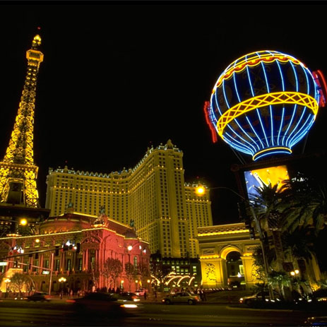 What would be some less obvious ways someone could save money on a Vegas trip?
Tattoo Artist
 Is it illegal to tattoo a client if he's drunk?
Correctional Officer
 Why does gang formation and racial segregation happen so much in prisons?
Hi, Erin. I’d go to weather.gov (not .com). Click on your area of the map and it will take you to the local National Weather Service office and you’ll see phone and email on the bottom. Good luck.
Share Answer: 
Great question, Jim. An Atlantic hurricane can come to Texas, and in a rare case New Mexico. The storms are guided by the upper atmospheric pattern of ridges and troughs. Imagine hills and valleys. The atmosphere is always in motion and a storm will take the easiest path, harder to climb a hill, easier to go through the valley. The general pattern during hurricane season has a hill over the Atlantic and storms will travel around the edge of the hill toward the valley in the eastern US, but remember the hills and valleys can change. Also, this year hurricanes from the Pacific have brought rain to NM and TX.
Share Answer: 
We use the weather forecast models and the other tools mentioned in your other question to generate a forecast and then use television, radio and social media to share information.
Share Answer: 
-OR-
 Login with Facebook
 (max 20 characters - letters, numbers, and underscores only. Note that your username is private, and you have the option to choose an alias when asking questions or hosting a Q&A.)
(A valid e-mail address is required. Your e-mail will not be shared with anyone.)
(min 5 characters)
By checking this box, you acknowledge that you have read and agree to Jobstr.com’s Terms and Privacy Policy.
-OR-
Register with Facebook(Don't worry: you'll be able to choose an alias when asking questions or hosting a Q&A.)


 Browse Jobs
 Host a Q&A
 Search

 Submit Your Question
 Host a Q&A
 Last 7

