I've been a broadcast meteorologist on television since the early 1990's. Happy to answer any questions about the weather or local TV news. Yes, I often wear sneakers on set just out of view of the camera.
I did see that some months ago when it happened. Tough situation. Can’t say I have a comment.
Hi, Keith. Lightning is looking to relieve the difference between a positive and negative charge in the atmosphere. In order to do that it looks for the path of least resistance and often looks for several paths to do it in a given strike, that is why it often looks forked. The first path that makes the connection between positive and negative wins and that part of the channel is usually brightest. Specific to your question, could the spinning air have some effect on the channel? Maybe a small bit. If you are suggesting something you might see in a Marvel movie...I's say no. :) Thanks.
Very interesting question. There is a great deal of effort and study going on over the last couple of years by social scientists to understand how and why people react to various weather situations. Individual past experience has a lot to do with future action. Certainly the tone of the message can have a lot to do with reactions. Social media has also shown that is can magnify a message, often in unhelpful ways. As that research continues my short answer is.....people are complicated. Thanks!
Small differences from storm to storm can have a big impact. Would it be safe after a lone supercell passed? Probably. Would your location relative to a squall line of multiple storm cells be important? Absolutely. Extra caution rarely hurts. Thanks.
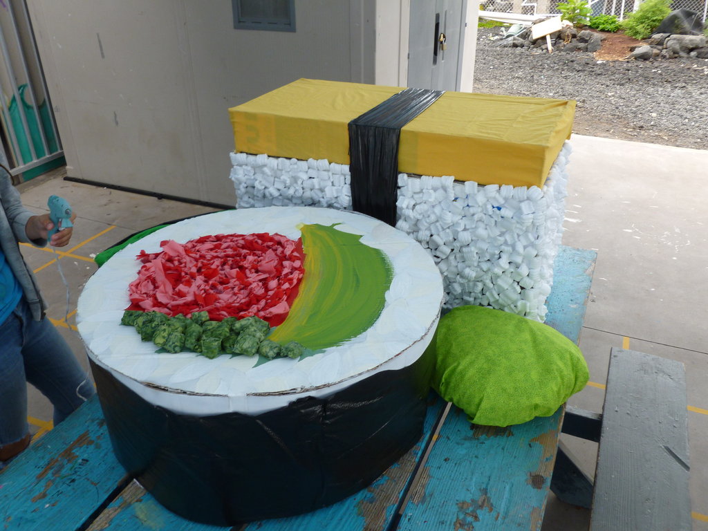
Sushi Chef
 Is there a stigma against sushi restaurants that have non-Asian chefs?
Private Detective
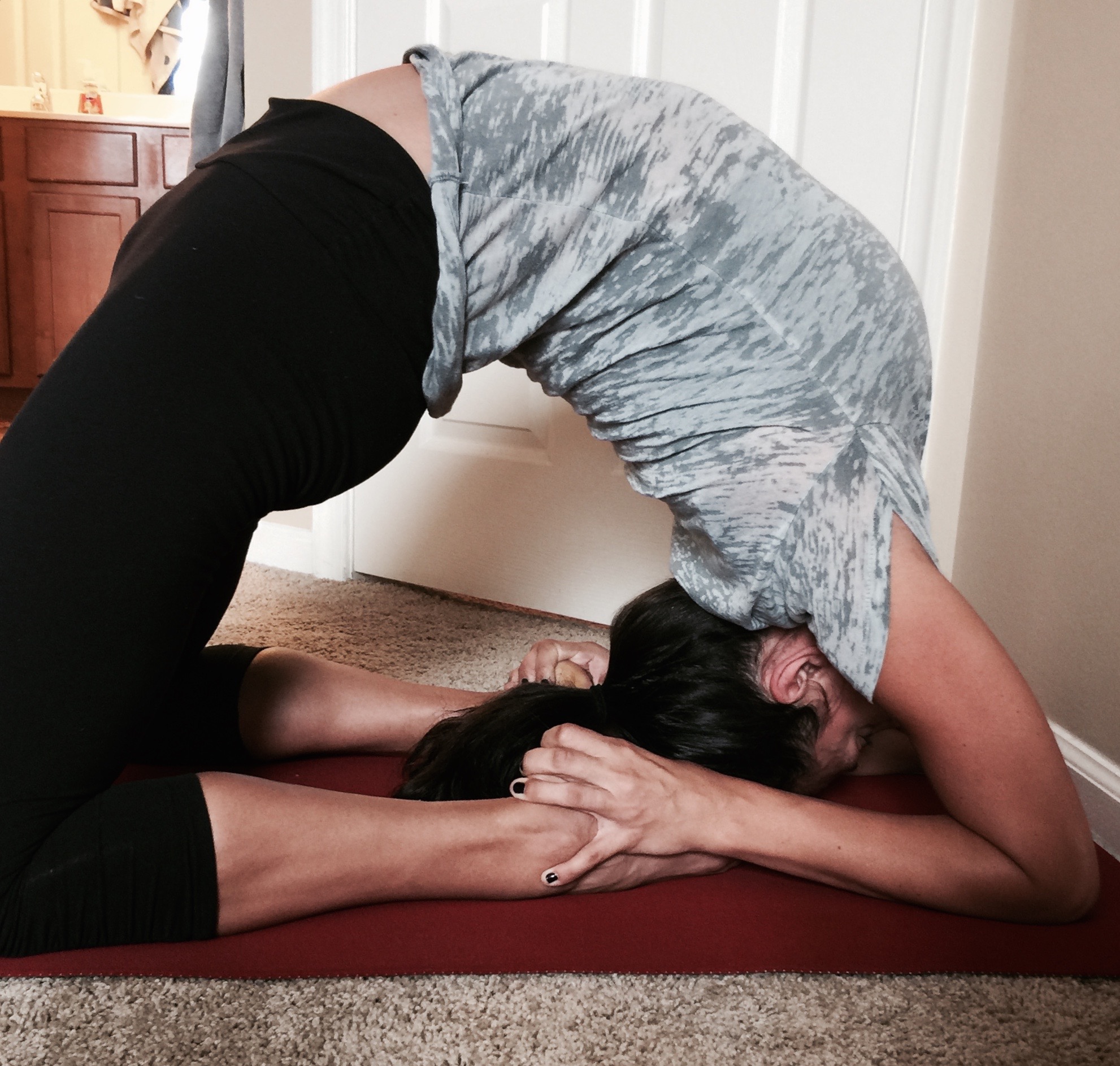
Yoga Instructor
 Why don’t more men do yoga?
Probably does feel different. Several things can affect how it feels. The amount moisture (water vapor) in the air is one of the biggest influences on how it feels. The best measure is the dewpoint temperature. In the 70s is very moist, humid air. Not common in AZ. 60s less humid, 50s less and so on. The type of ground and ground cover can have an effect. High moisture and light wind can decrease the amount you sweat and how easily the sweat evaporates. When sweat evaporates it creates evaporative cooling which helps take heat away from the body. Elevation plays a roll in the amount of moisture too. Hope that helps.
Looks like a couple of thunderstorm cells within the hurricane that have risen above the central dense overcast of the storm. Thunderstorms are made of volumes of rising air as long as they are warming than the surrounding air. These have risen above the others. The bright spots are caused by the sunlight hitting the storm towers, along with darker shadows on the other side.
Complicated question. The fuel for tropical systems is warm surface water in the ocean. Since the ocean and the atmosphere are connected a warmer atmosphere will create warmer oceans which adds up to more fuel. Hope that helps. Thanks!
-OR-
 Login with Facebook
 (max 20 characters - letters, numbers, and underscores only. Note that your username is private, and you have the option to choose an alias when asking questions or hosting a Q&A.)
(A valid e-mail address is required. Your e-mail will not be shared with anyone.)
(min 5 characters)
By checking this box, you acknowledge that you have read and agree to Jobstr.com’s Terms and Privacy Policy.
-OR-
 Register with Facebook
(Don't worry: you'll be able to choose an alias when asking questions or hosting a Q&A.)